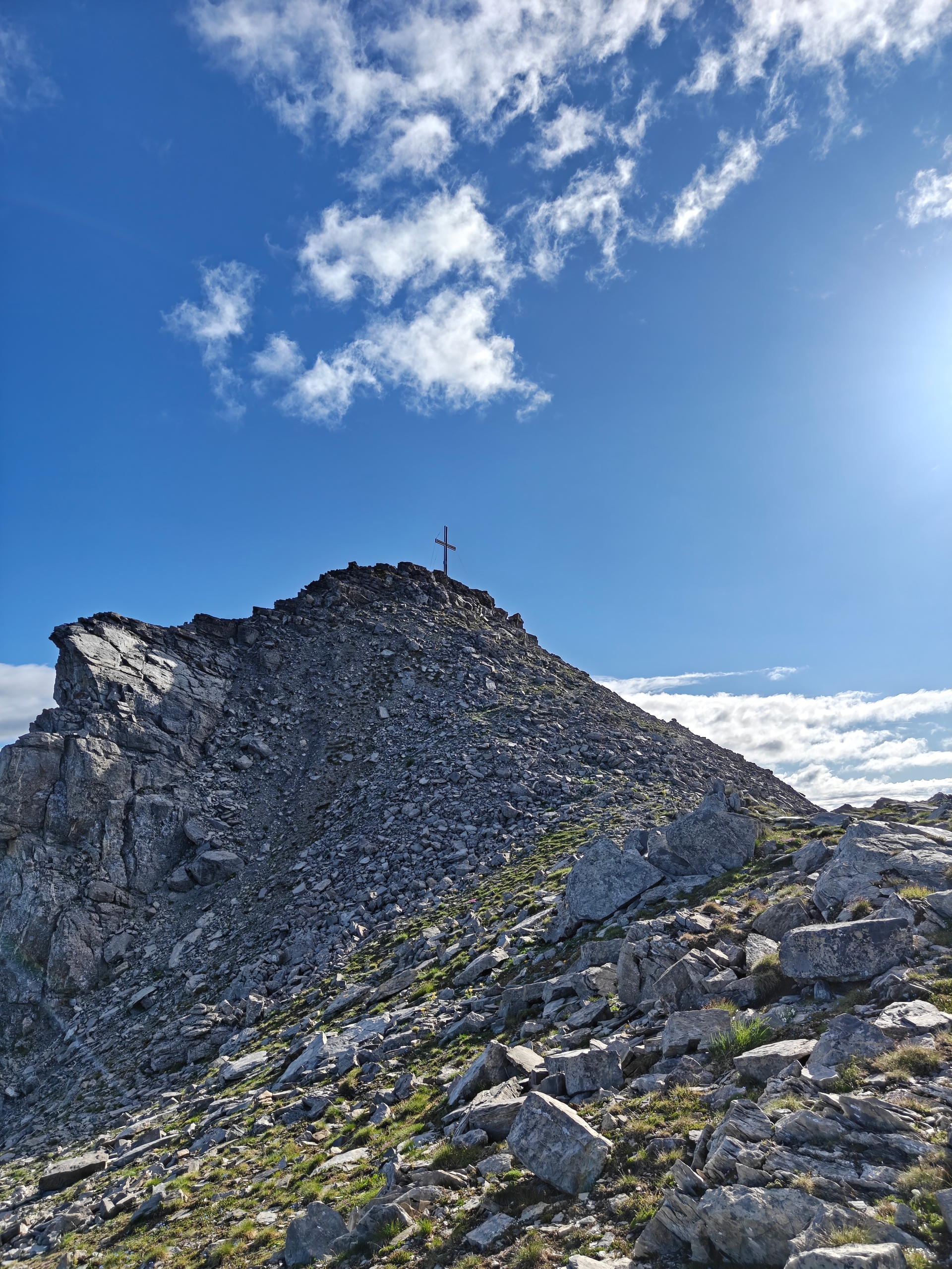
Overview
Falknis is the big mountain standing guard over the Rhine Valley between Liechtenstein and Graubünden — a 2,562 m limestone peak whose summit cross hangs directly above the Lawena valley. The classic ascent starts at Fort Luziensteig, at 741 m, and does not let up until the cross: 1,820 m of climbing over forest, open pasture, and a fixed-cable rock section.
This is a serious mountain day, not a summer stroll — allow a full day, start early, and check the weather carefully. The reward is one of the best panoramas in the region, with the whole Rhine Valley laid out below.
The Route
Fort Luziensteig → Guscha: Start at the historic fortifications of St. Luziensteig, on the Graubünden–Liechtenstein border above Maienfeld. A wide rocky road climbs steadily above the fort with views back over the fortress walls, heading toward Guscha.
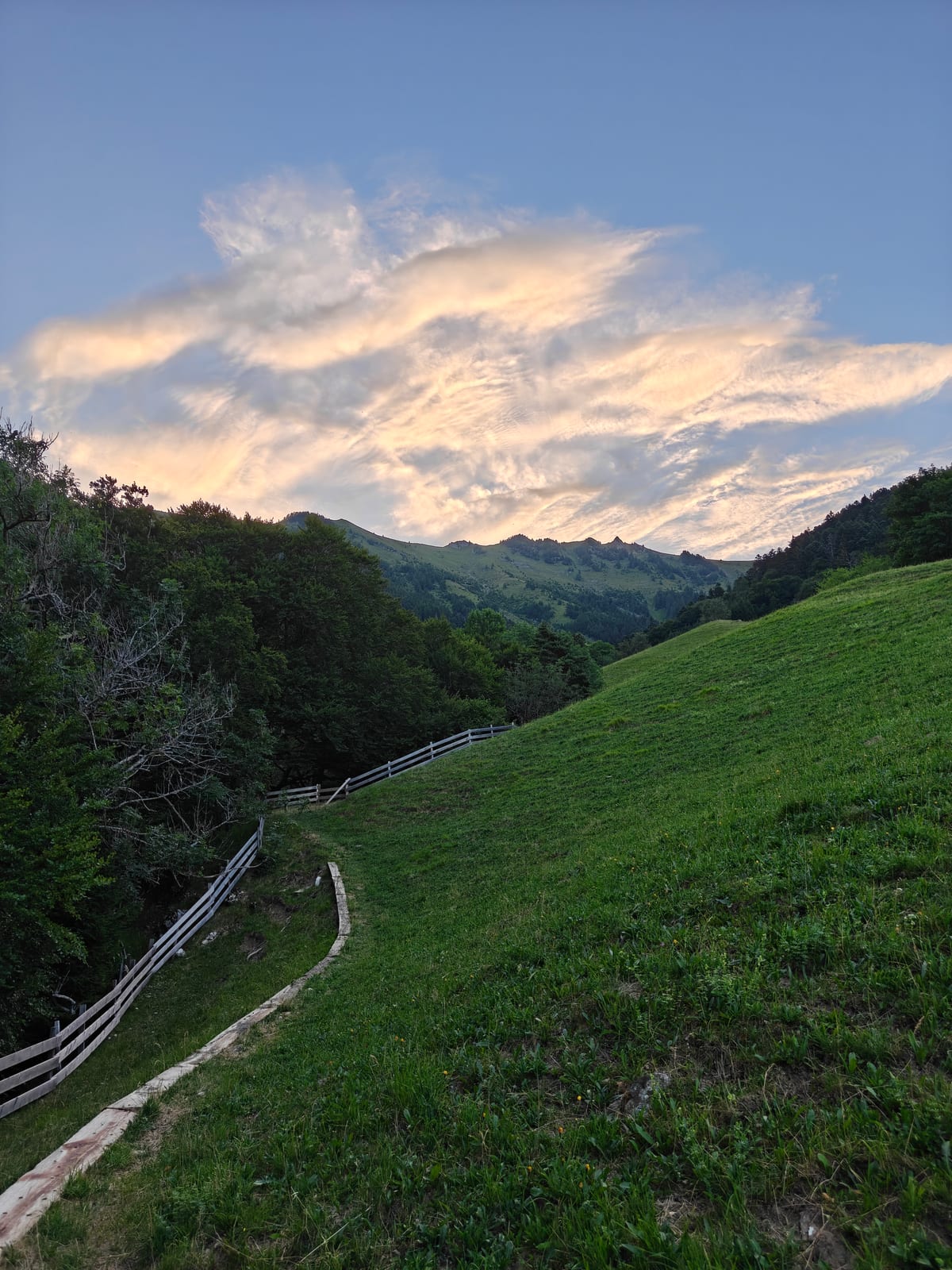 The climb just above Guscha, with Mittlerspitz and Rotspitz ahead.
On the way you reach a signposted junction: Stafel, Guschasattel, Falknis, Lawena in one direction, Birch, Mittlerspitz and Birchen-Matan in the other. Stay on the Guschasattel / Falknis trail.
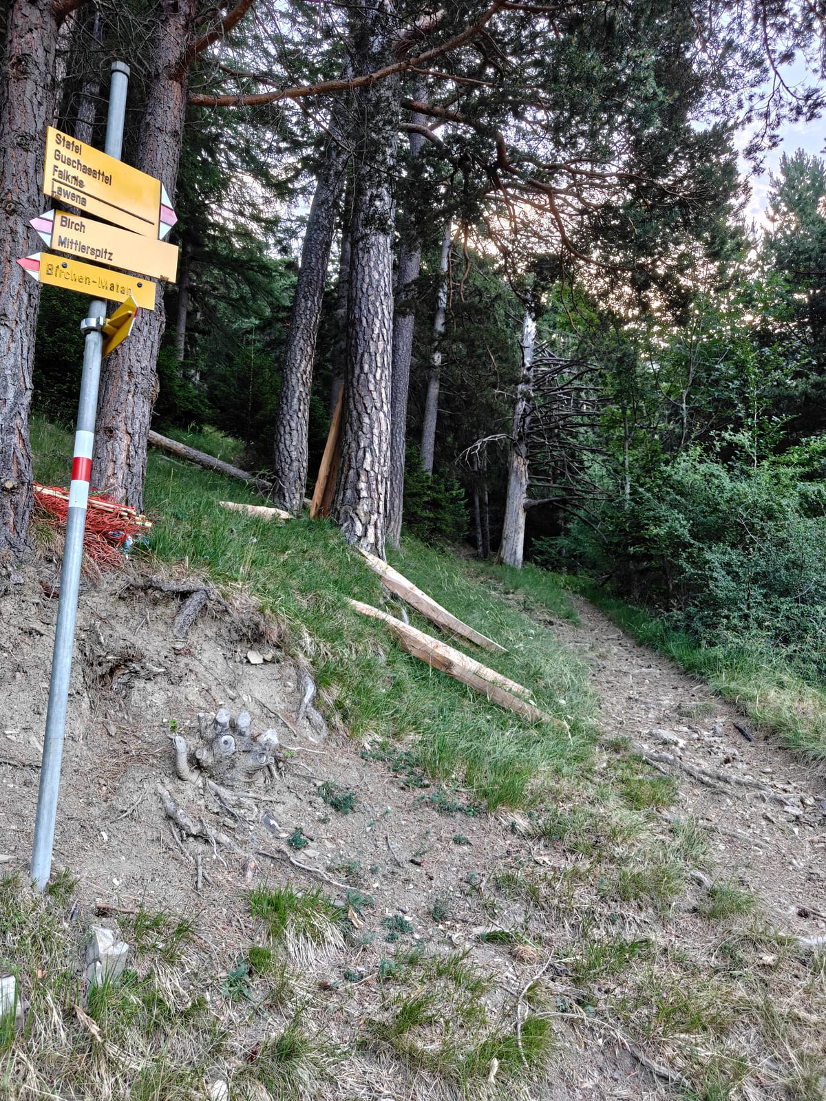 The junction on the way up — follow Guschasattel / Falknis.
Guschasattel: The trail continues up to the Guschasattel, the broad saddle below Falknis and Mazorakopf/Falknishorn — Mazorakopf and Falknishorn are two names for the same peak. From here you can already pick out Mazorakopf/Falknishorn to the right, and the summit of Falknis itself far to the left.
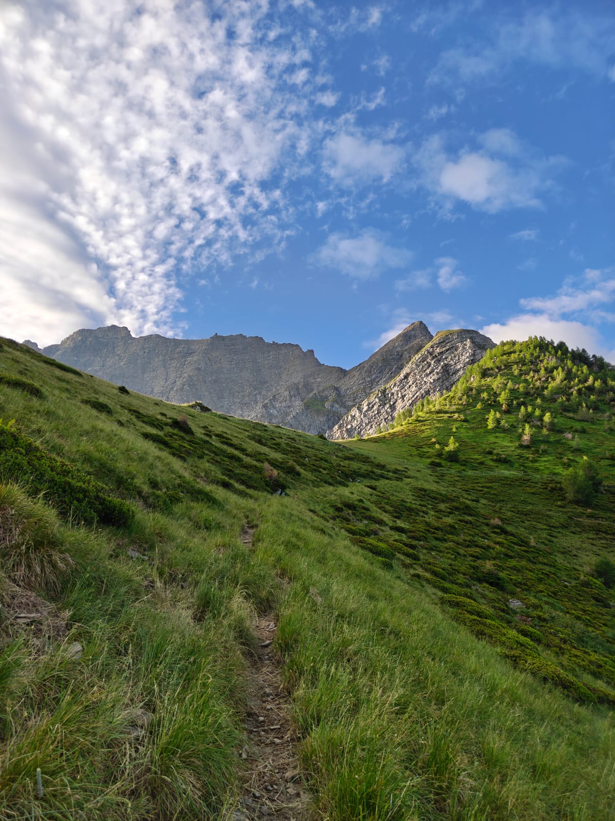 Approaching the Guschasattel — Mazorakopf/Falknishorn to the right, Falknis summit far left.
A small stone-roofed alpine hut sits right on the Guschasattel — a good landmark and a last bit of shade before the climb steepens.
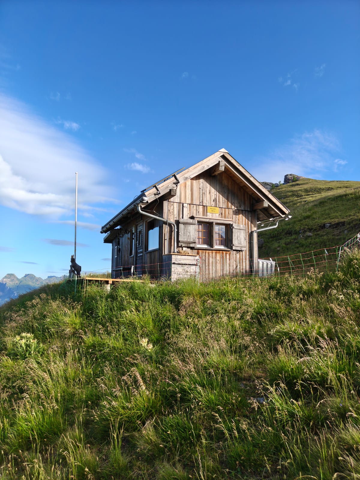 The hut on the Guschasattel.
Guschasattel → Mazorakopf/Falknishorn: From the saddle the path climbs broad grass slopes beneath the limestone cliffs toward Mazorakopf/Falknishorn.
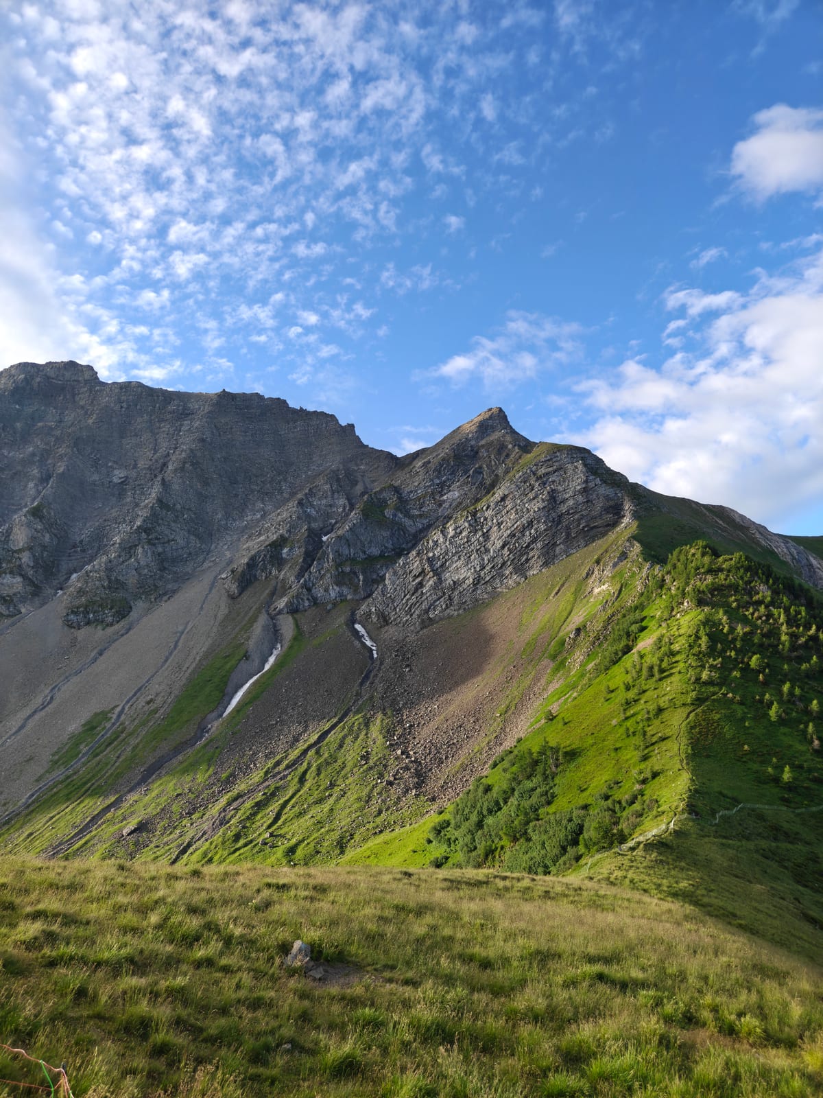 Climbing from the Guschasattel toward Mazorakopf/Falknishorn.
Partway up, the trail crosses a short band of broken limestone secured with a fixed steel cable.
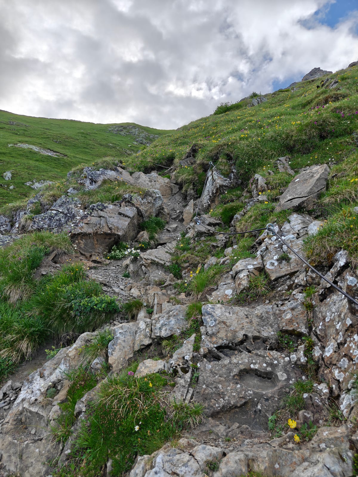 The fixed-cable section on the way up to Mazorakopf/Falknishorn.
Above the cable the views open up fully, with the Rhine Valley spread out far below.
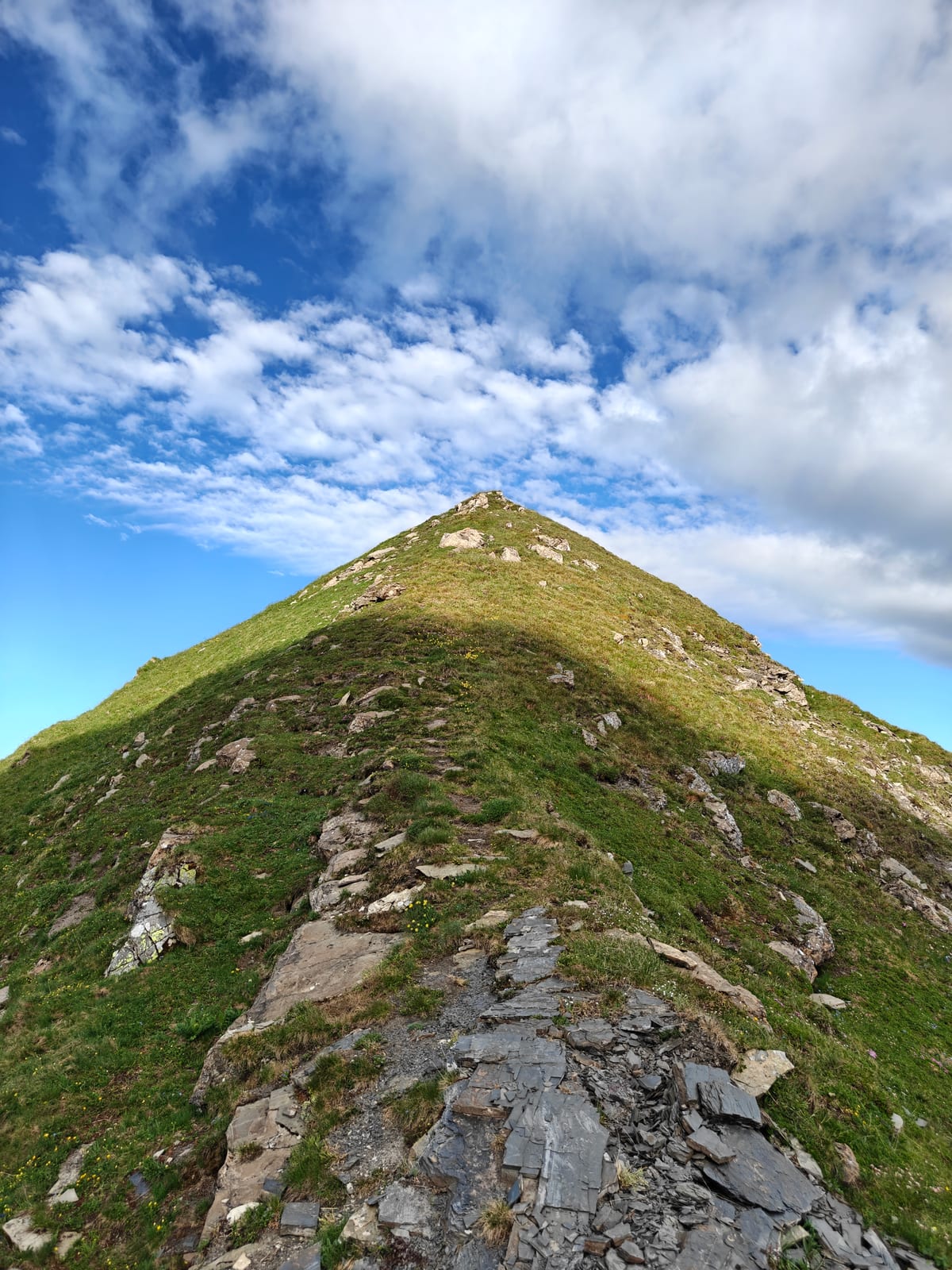 On the climb to Mazorakopf/Falknishorn — the Rhine Valley about to open up below.
Mazorakopf/Falknishorn: A stone cairn marks the top, with a phenomenal view toward Mittlerspitz, Wörznerhorn and Mittagsspitz, and the Alpstein / Churfirsten in the background.
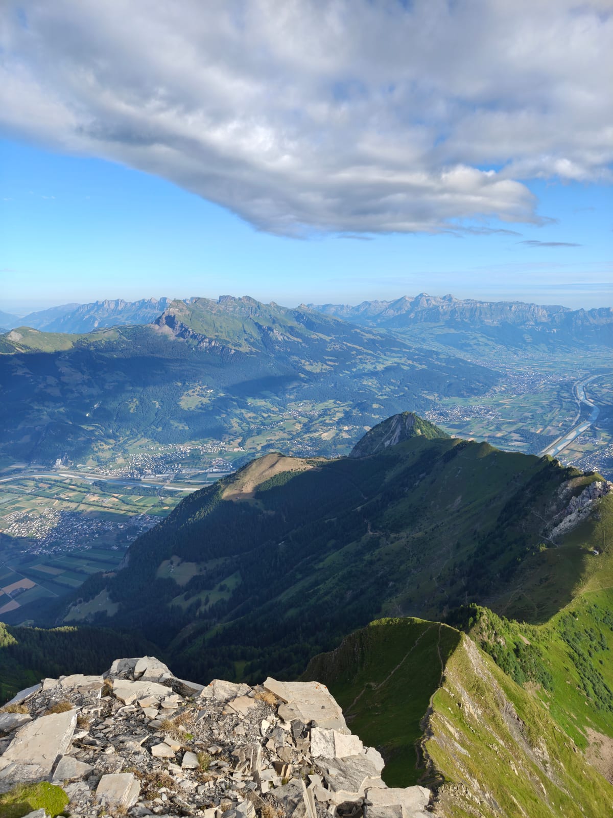 The view from Falknishorn, looking back down the ascent route — the path starts far to the left, where Guscha is just barely visible.
The crux — Falknishorn to Falknis: The connecting traverse between Mazorakopf/Falknishorn and the Falknis summit block is the most exposed and technical section of the whole route. The trail picks a line across loose, broken rock, with a steep drop to the right and the mountain wall rising on the left. Fixed steel cables are bolted along the worst of it to help with the traverse, but this — not the earlier cable section — is the real crux of the hike and the main reason it is graded T4.
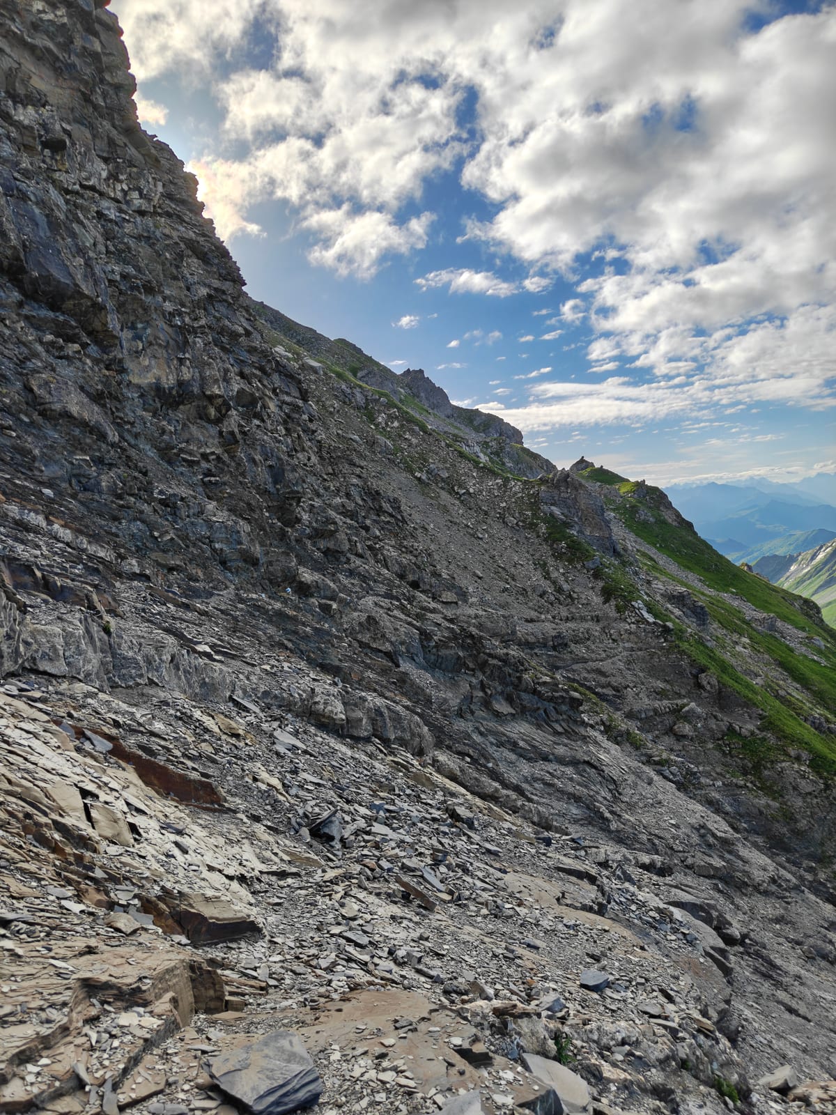 The exposed traverse between Mazorakopf/Falknishorn and Falknis — the crux of the route.
Final signpost: A trail sign confirms the way and marks an important junction: Guschasattel, Guscha and St. Luziensteig back the way you came, the yellow trail continuing straight ahead to Falknis, the blue-marked alpine route to Fläscher Fürggli–Enderlinhütte SAC branching off to one side — a somewhat shorter approach to Falknis, but also an alpine route with its own exposure, not an easier alternative — and a further path toward Fläscher Fürggli, Fläscher Alp, Iljes and Stürfis.
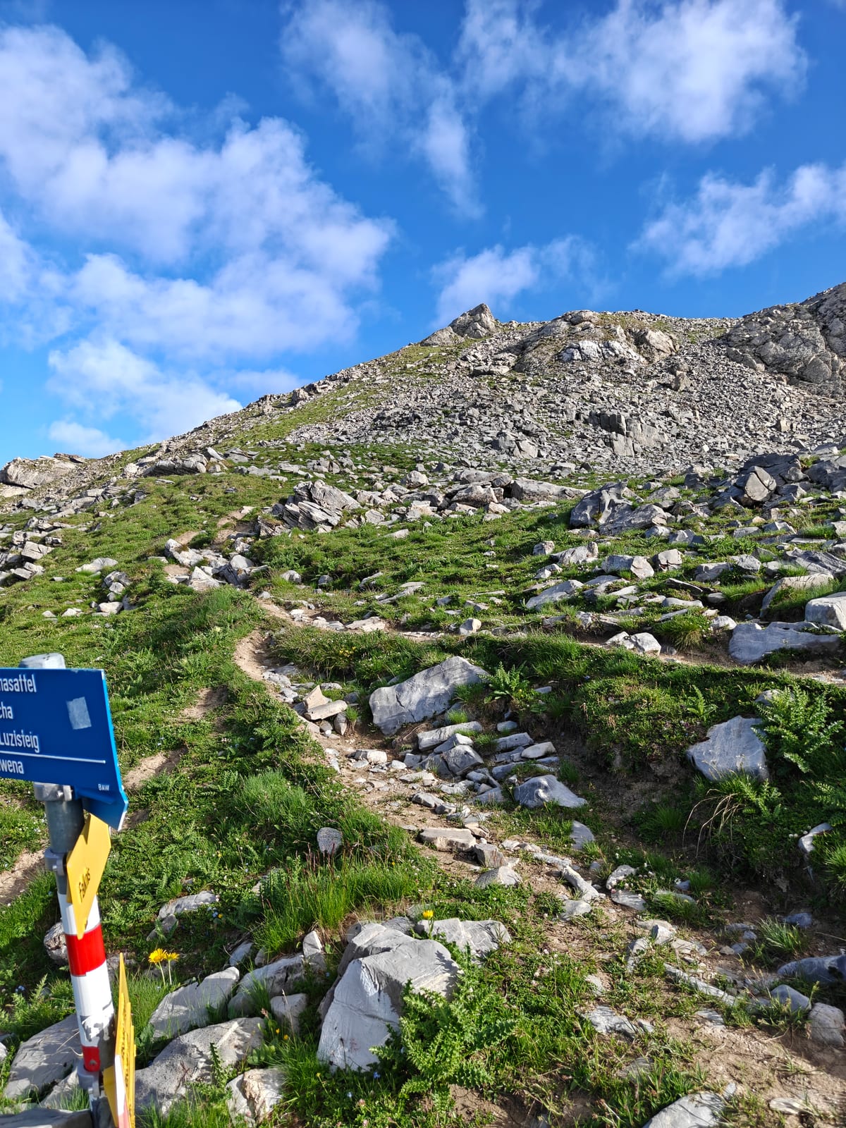 The signpost below the summit — this is the same junction shown from the other side below.
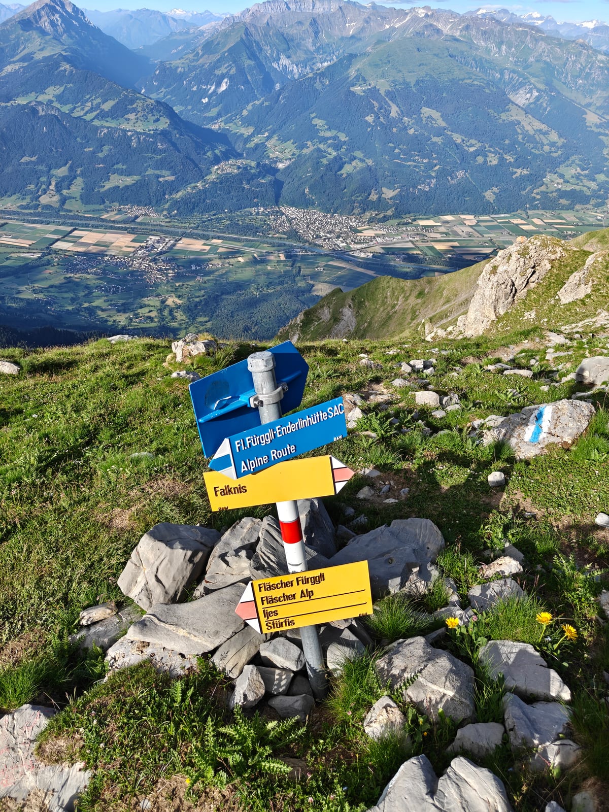 The same signpost, showing the Enderlinhütte alpine route branching off.
Falknis summit (2,562 m): The final metres bring you to the summit cross, perched on a narrow rocky high point.
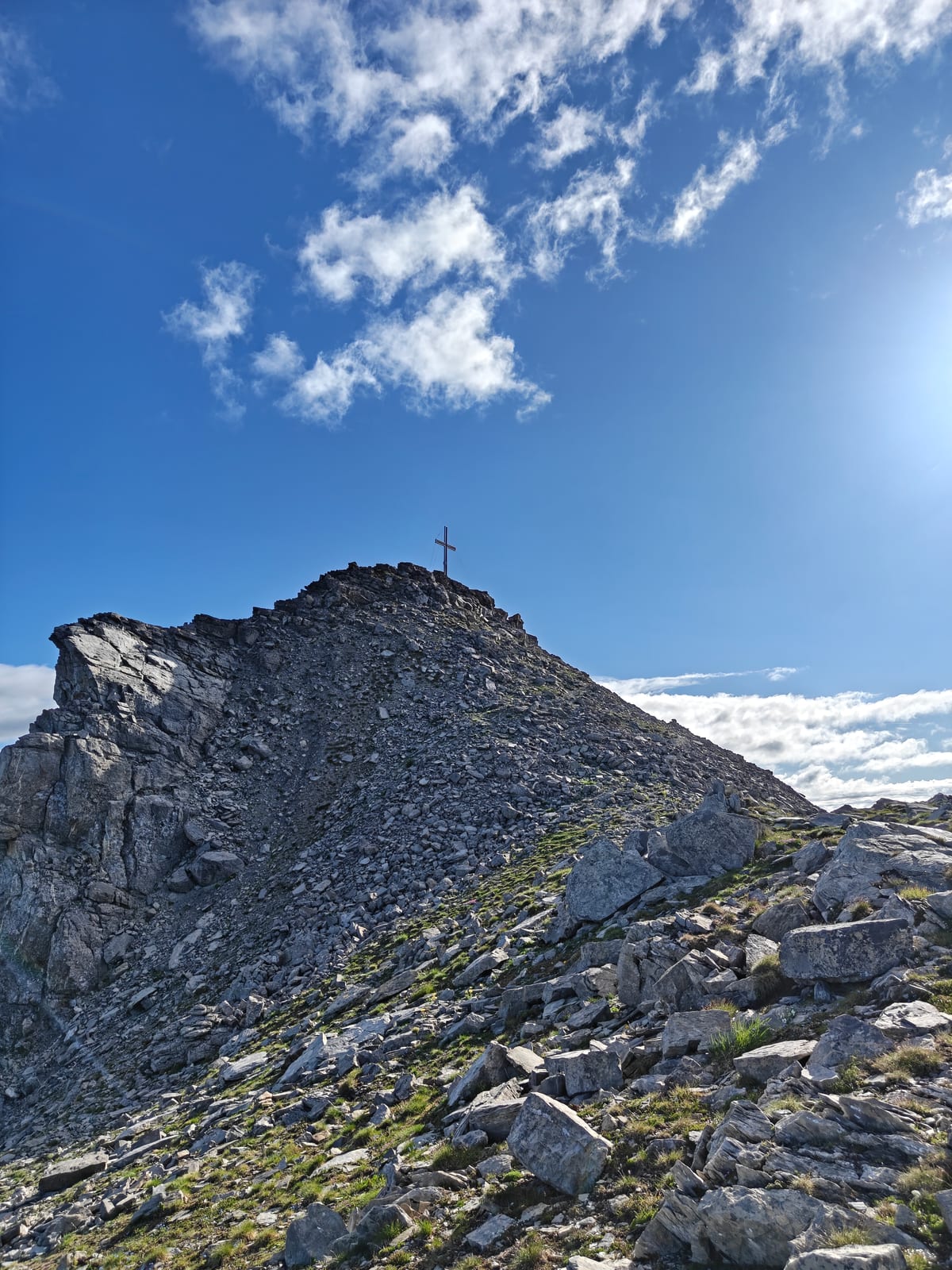 The Falknis summit cross.
Take time at the top — this is a big effort and the view over the Rhine Valley and the surrounding ridges is worth every metre of the climb.
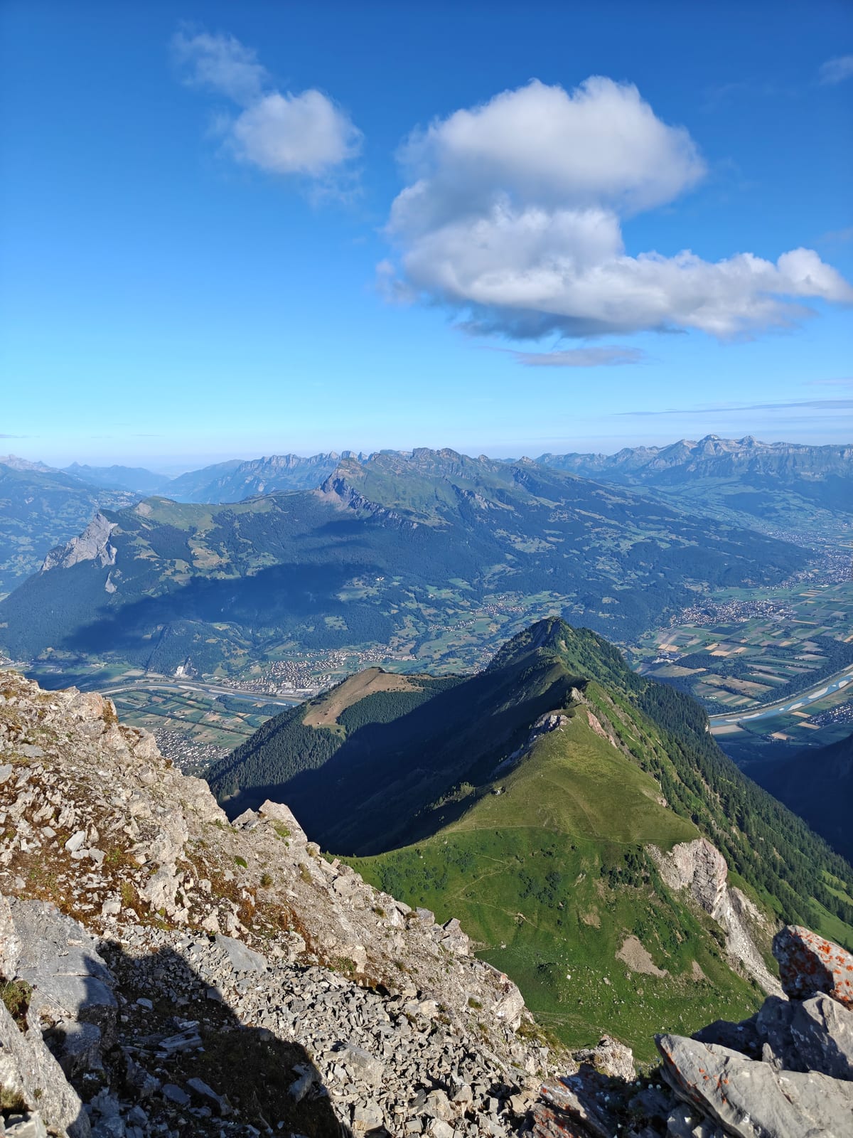 Looking out along the ridge from the summit.
Descent: There are three ways down from the summit: back the way you came, via Mazorakopf/Falknishorn and the Guschasattel to Guscha; via the alpine route past Fläscher Fürggli and the Enderlinhütte; or down toward Malans. The Malans route passes a small alpine lake — a beautiful, unexpected spot to stop, and warm enough in summer for a swim — before reaching the valley.
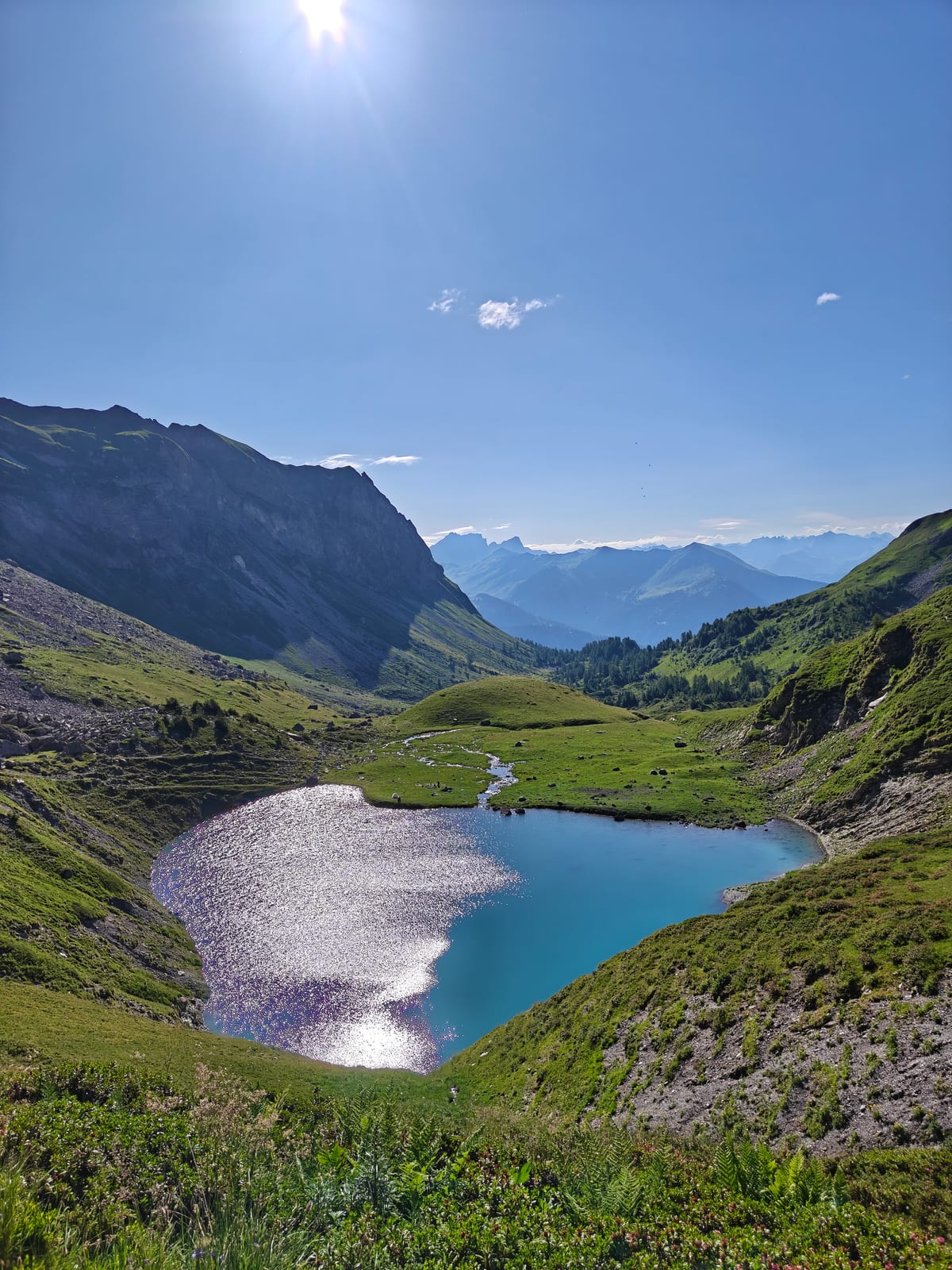 The alpine lake on the way down to Malans.
Conditions & Season
- Best months: June–October, snow-free conditions only
- The fixed-cable section below the Guschasattel and the exposed, cable-assisted traverse between Mazorakopf/Falknishorn and Falknis both demand solid technique and a head for exposure — avoid both in wet, icy, or windy conditions
- Start early — this is a long day with significant sun exposure on the upper slopes and afternoon thunderstorms are common in summer
- No water sources on the upper mountain — carry enough for the full day
How to Get There
By train: Take the train to Maienfeld (Zurich–Chur main line), then walk or take a taxi up to St. Luziensteig (around 300 m of ascent, roughly 45 minutes on foot).
By car: Drive to St. Luziensteig on the pass road between Maienfeld (Switzerland) and Balzers (Liechtenstein). There is parking near the fortifications.
Return: See the three descent options above — via Guscha back to St. Luziensteig, via the Enderlinhütte, or down to Malans for the cable car into the valley.