T2
T2 Liechtenstein
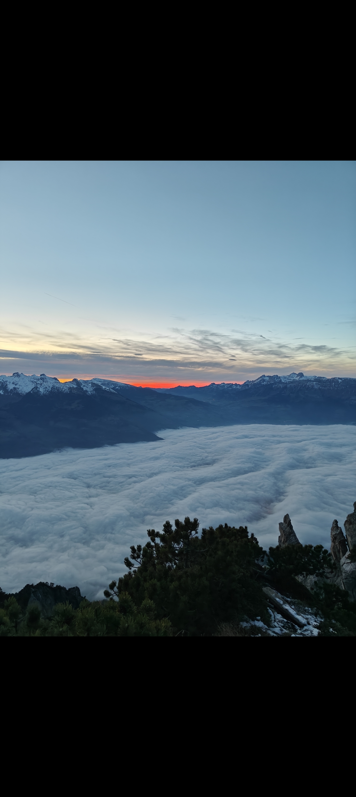
Balzers to Regitzerspitz — Via Alp Lida
A varied climb from Balzers through forest, past limestone cliffs and the alpine pasture of Alp Lida, finishing at the Regitzerspitz summit at 1,135 m — with a dramatic exposed cliff edge and wide views over the Rhine Valley.
⟷ 5.8 km ↑ 655 m ⏱ 3–3.5 hours